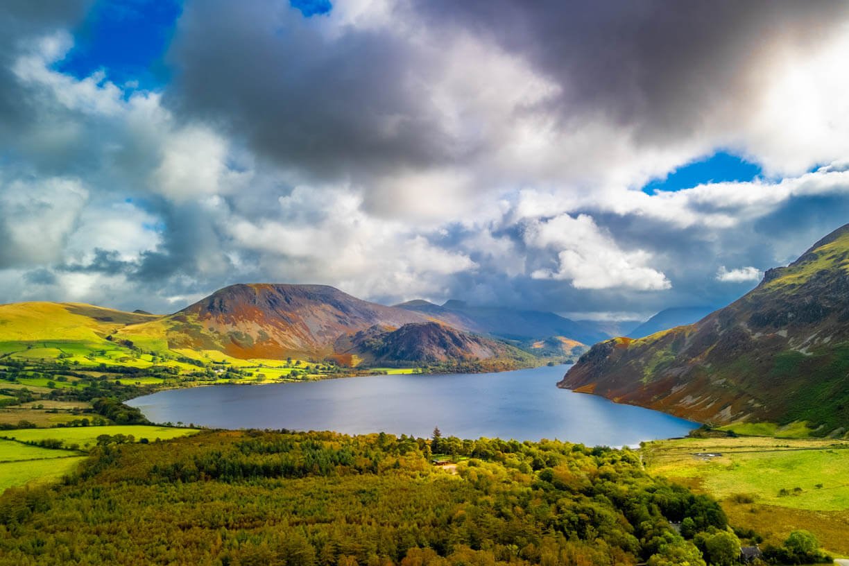
Our Area
West Cumbria is home to some of Britain’s most stunning rivers and lakes. Below, you’ll see a snapshot of where we work. We cover four major water catchments covering a diverse range of habitats from national park to farmland, woodland to busy towns.
We look after an area of 1864sq km with approximately 3,400 miles of streams and rivers. There are six SACs (Special Areas of Conservation) and 90 SSSIs (Sites of Special Scientific Interest) lying either wholly or partially within our patch.
Our rivers include the Derwent, the Ellen, Ehen, Calder, Irt, Mite, Esk, Annas, the Wampool and Waver. Many of our rivers and lakes are designated SAC and SSSI sites.
View our interactive map to see some of the projects we’re currently engaged in.
52%
of our catchment is within the Lake District National Park, a UNESCO World Heritage Site
Where We Are


Interactive Map
To access the map key, click the two arrows in the top left of the map.
Learn more about our area

Trails

Webcams
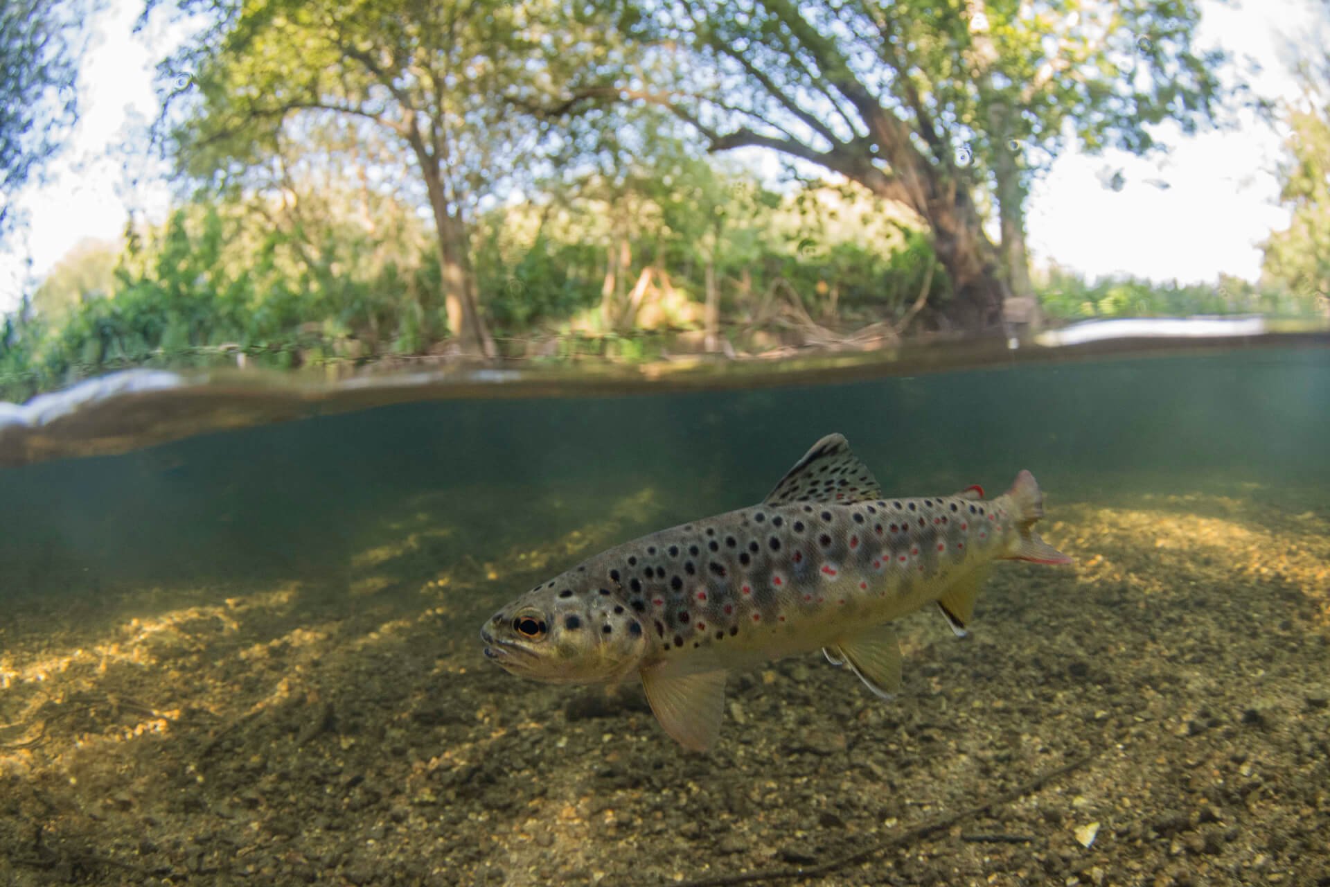
Wildlife
Support our work
Without the help of our fantastic supporters, we’d be up the creek!