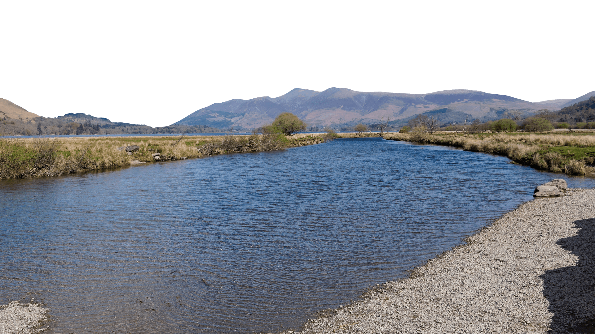
River Cocker
The River Cocker flows from Crummock Water to Cockermouth and includes the catchments of Buttermere, Crummock Water and Loweswater. It’s an upland river flowing 19km northwards from its source at the head of the Buttermere valley in the Northern Lake District fells. Its tributaries include Liza Beck, Whit Beck, Mill Beck, Dub Beck, Tom Rudd Beck and Bitter Beck. The whole catchment covers an area of 145km2.
This project has included extensive natural flood management (NFM) work. We’re working with farmers and landowners across the catchment to develop landscape features inspired by nature that aim to help reduce flood risk to Cockermouth and Lorton. These measures also provide wider environmental and agricultural benefits too.
The combined impact of lots of small measures across the catchment, coupled with hard engineering and flood resilience measures carried out by other agencies and organisations, could have a significant effect on flood risk.
Project progress
516
Leaky dams across becks to slow the flow of water from the fells after storms
5,055m
of hedging plants planted
1,240m
of river restoration projects
15,795
trees planted
20
Wetlands created (including ponds and scrapes)
8,310m
of riparian fencing installed
Project highlights
Wetland creation and improvement
Catchment Wide
Wetland creation and improvement is important for creating and protecting our local biodiversity as well as helping to keep water in the catchment. Ponds provide habitats for amphibians and invertebrates, which in turn encourage fish, birds and animals to return and make an area home. Many of the landowners in the Cocker catchment have had wetland habitats created on their land, which transforms poor quality agricultural land into thriving habitats.
Whinlatter Forest
Above Lorton
In partnership with Forestry England, we installed 165 leaky dams in Aiken Beck, Whinlatter Gill and various tributaries and forest ditches. Made from logs and tree trunks from Whinlatter Forest itself, the dams will hold back water when beck levels are high during storms then drain gradually afterwards, reducing peak river levels downstream.
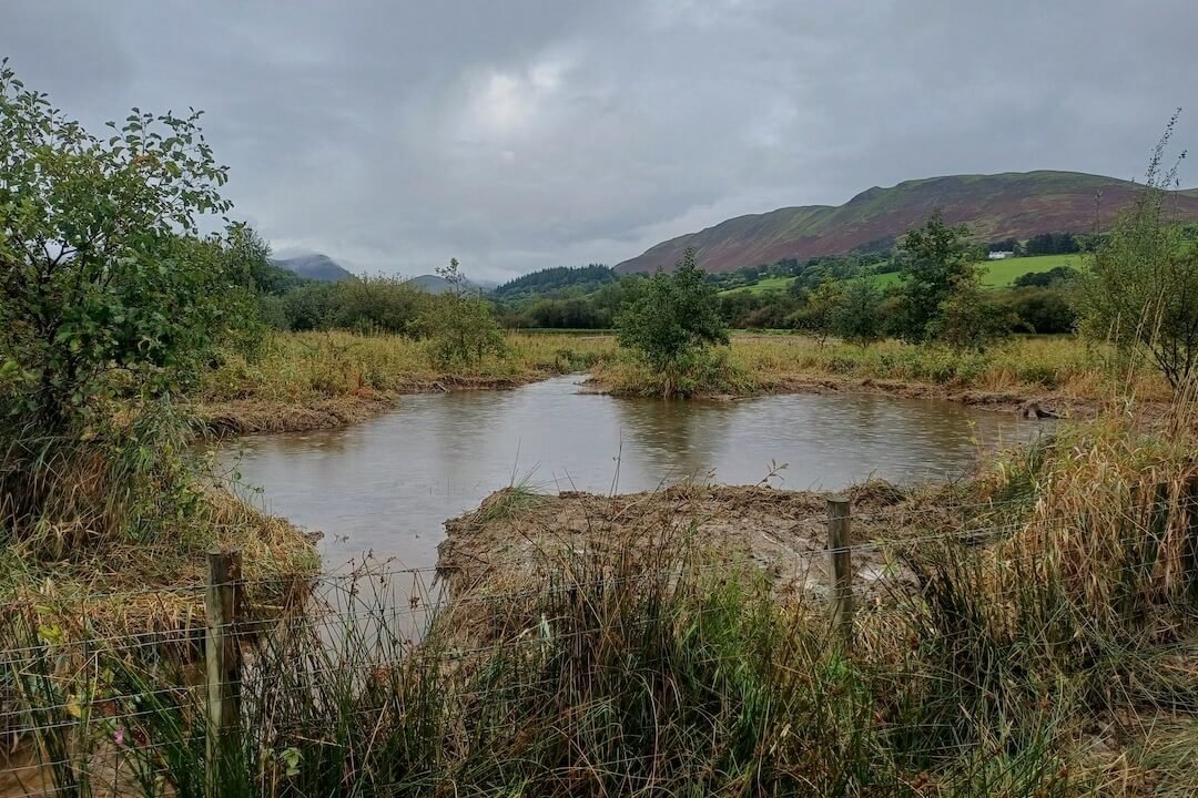
Hopebeck
Lorton Area
An 85-metre stretch of beck which was previously culverted, running under a field, has been brought back to the surface and re-meandered to 180 metres in length. As well as helping to slow the flow by restoring the beck to its floodplain, this has significant wildlife benefits as it has opened up access to a further 415 metres of the beck for fish passage. A fish easement to aid passage has also been added downstream of this site, at a road culvert, to open up another 430 metres of habitat.
This video shows the newly restored beck:
Blaze Beck
High Lorton Area
A key project completed in 2020 was the restoration of a floodplain on Blaze Beck. Floodplains are important for storing water and gravels in high water and storm conditions. Over the years, the beck has been managed to encourage the water to flow through, but the result has been storm water bypassing the floodplain. We’ve reconnected the beck with the floodplain by introducing rapids.
The rapids will raise water levels and should slow the flow of the beck as the floodplain will temporarily store water. More importantly, gravels can now be deposited on the floodplain rather than washed down the system in a storm. As people in High Lorton will know, gravels accumulate at the bride in the village, causing the beck to overtop, resulting in flooding of properties.
The rapids were designed by AquaUoS (environmental consultancy), with extensive modelling undertaking to refine the designs.
Check out our annotated images which explain the changes in more detail.
We’ve also fenced and planted around Blaze Beck, just below Swinside Cottages. This is not only to create woodland and scrub habitat (to better connect native woodland amongst the conifer plantations, but also to capture surface water that comes down the surrounding hills. We’ve planted around 1,000 trees and are leaving the rest to regenerate naturally.
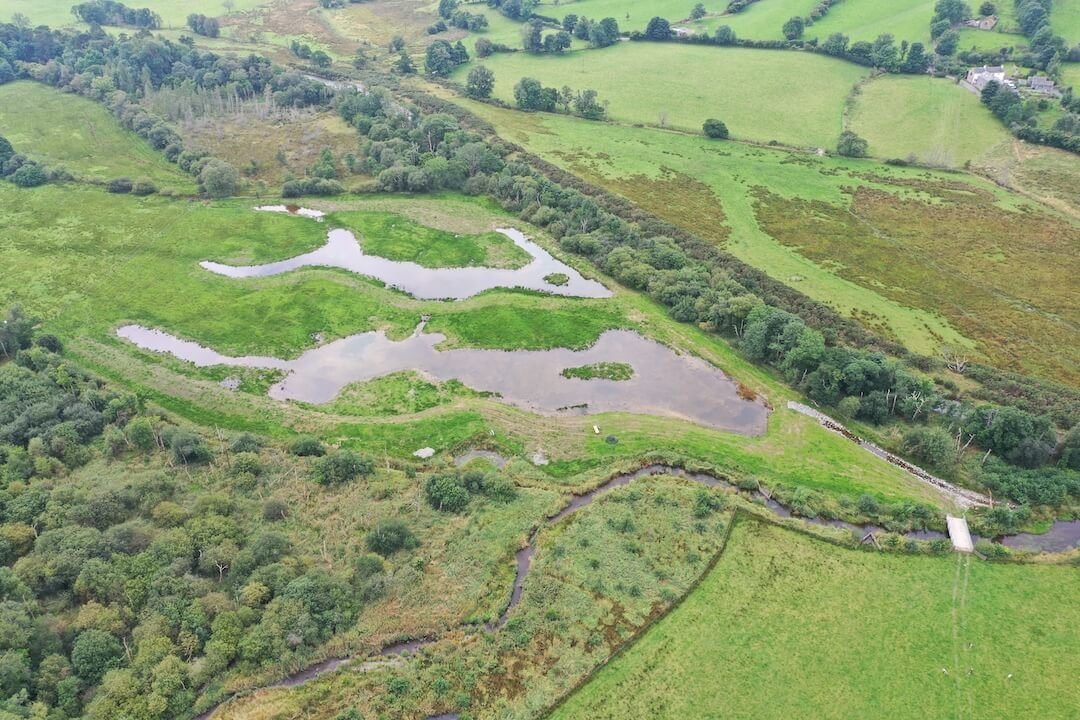
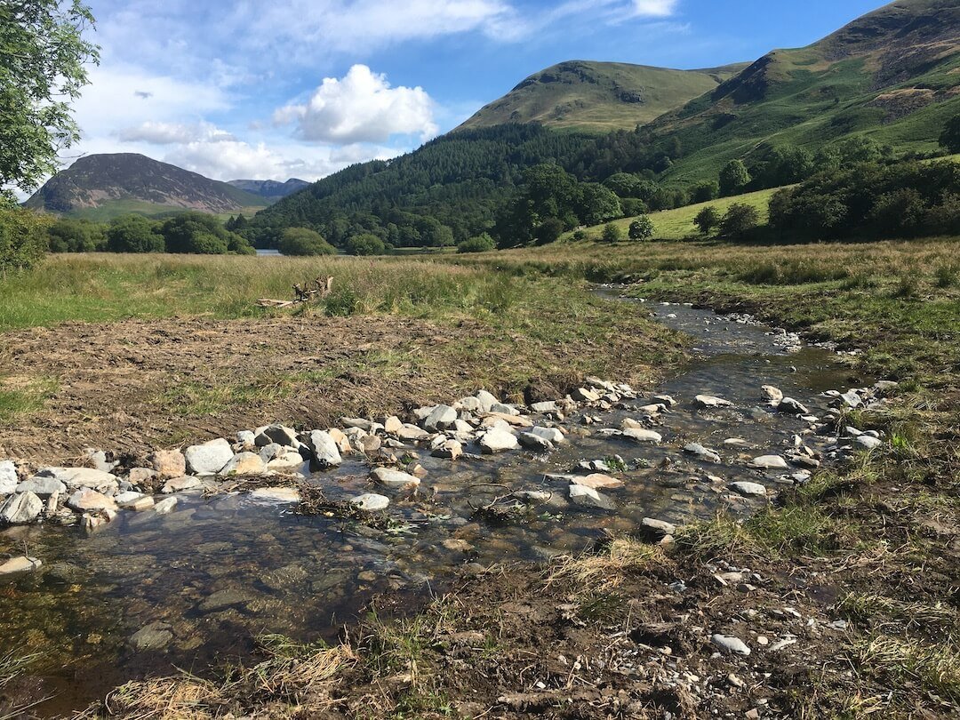
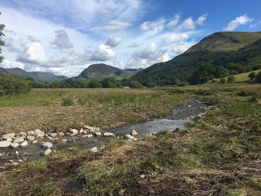
Dub Beck
Loweswater
Dub Beck runs into Loweswater and was previously a straight perched channel which carried sediment into the lake and provided little habitat for wildlife. In 2020 work was carried out to renaturalise the river and reconnect it to its floodplain. This has created habitat and helped improve the water quality in Loweswater.
Monitoring success
We want to know how effective all these measures will be to increase the national evidence base and better understand the role of NFM in flood risk management. We’ll be monitoring all our interventions, working with Lancaster and Loughborough Universities.
Shared farming equipment
If you farm within the River Cocker catchment, we have farming equipment you can borrow (detailed at the bottom of our land management page).
Want to find out more?
If you would like to volunteer in the area, sign-up and look for activities in the Cocker Catchment.
If you’re a landowner in the catchment and interested in NFM measures on your land, contact Bethany Berry-Henshaw.
Project funders