Resilient Glenderamackin
Project Pages
Businesses – Get Involved
An ambitious catchment wide project aiming to reduce flood risk to Keswick, delivering nature-based solutions to benefit nature, farming and communities.
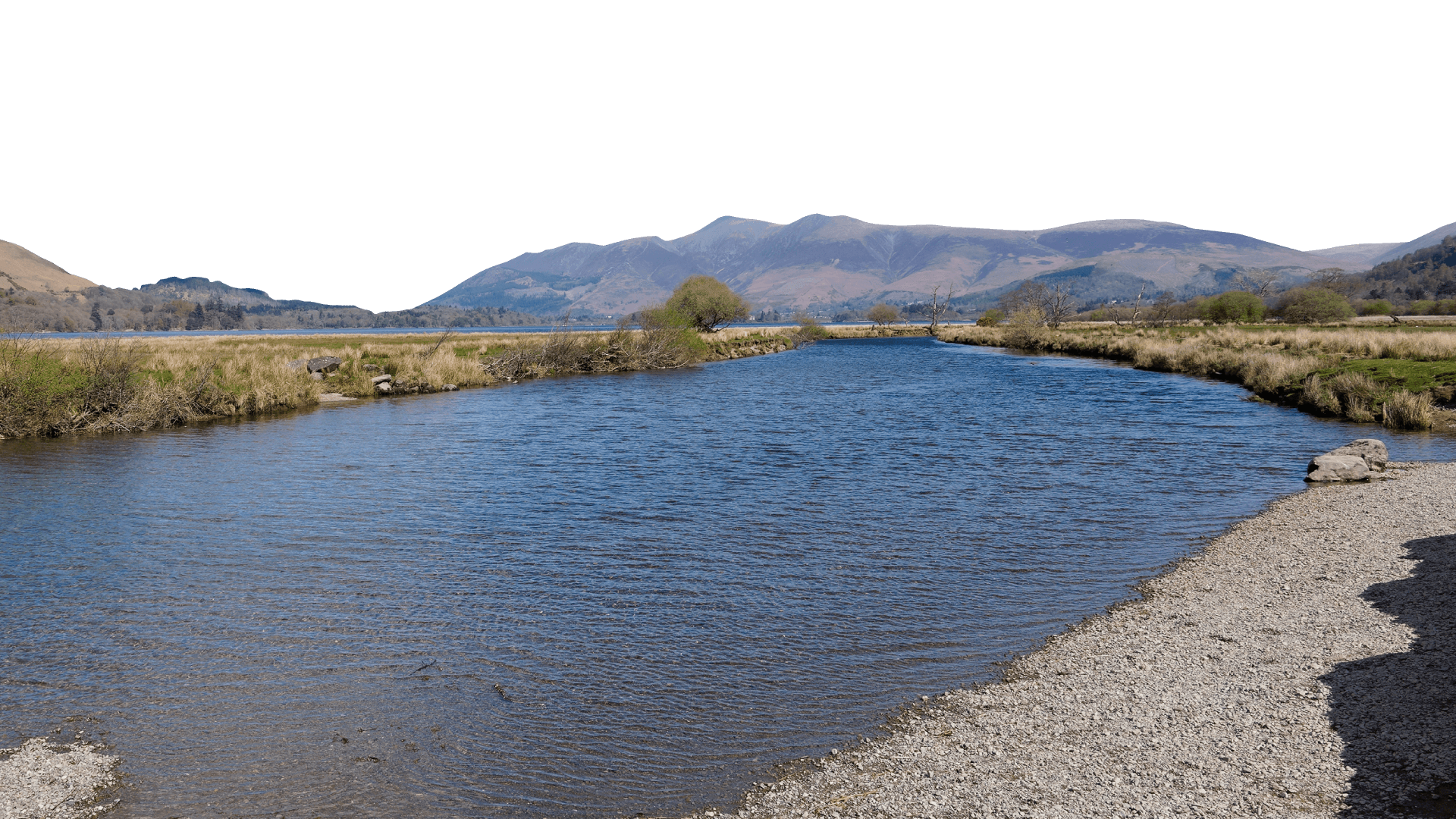
The catchment
The catchment of the River Glenderamackin is approximately 142 square kilometres and includes the mountains and river valleys that drain into Keswick, including Mungrisdale, Troutbeck, the Naddle and St Johns in the Vale. The River Glenderamackin and St John’s Beck join to form the River Greta just upstream of Keswick.
The Glenderamackin is part of the River Derwent and Bassenthwaite Lake Special Area of Conservation (SAC). A large area of the uplands to the north of the catchment are part of the Lake District High Fells SAC. The entire catchment sits within the Lake District National Park, also a UNESCO World Heritage Site, designated for its cultural heritage.
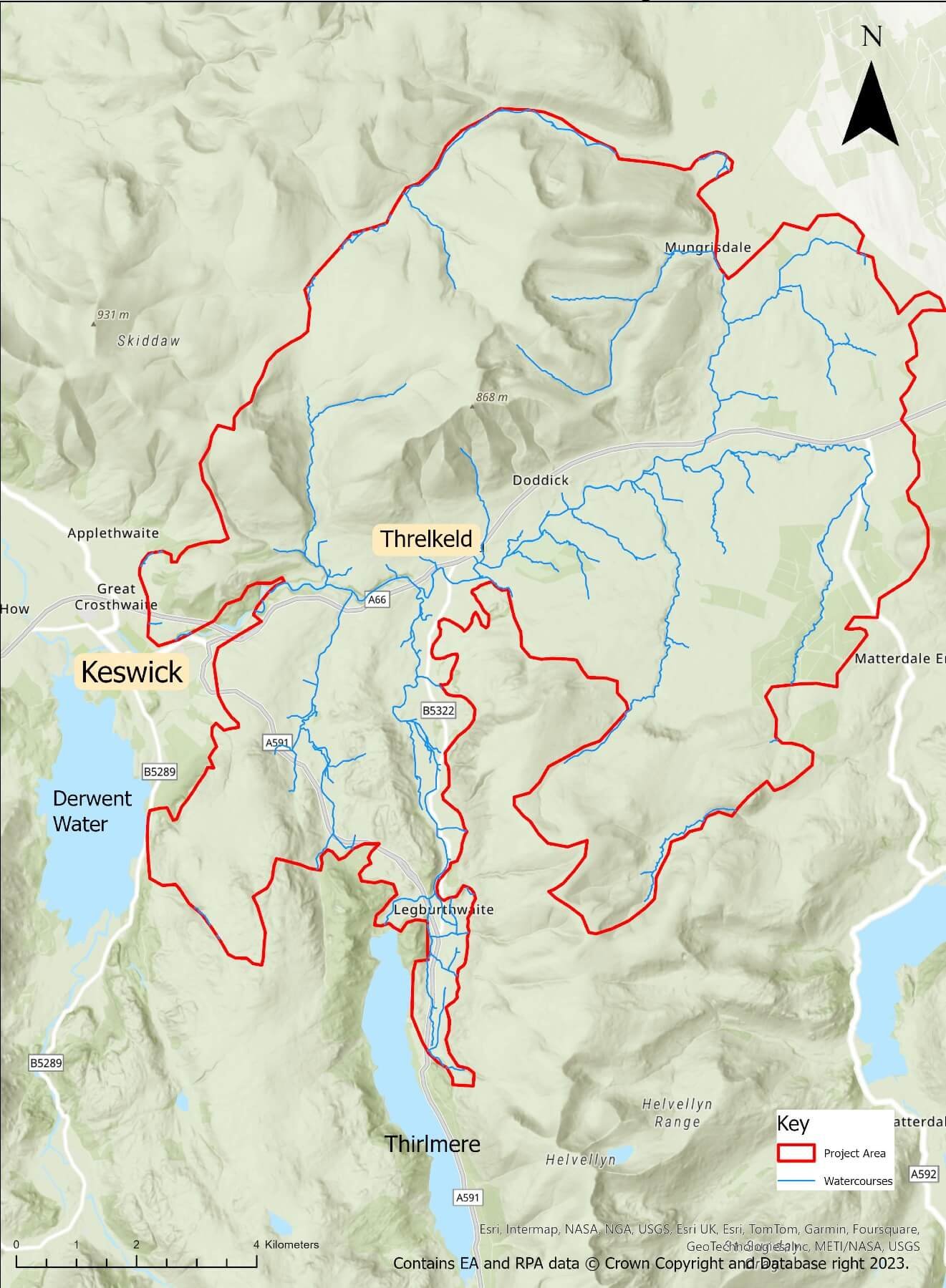
Glenderamackin catchment
The problem
The catchment faces multiple threats:
Increase in severe flood events due to climate change. In recent years, Keswick has been hit by devastating floods in 2005, 2009 and most recently in 2015.
Poor water quality - high phosphate levels from wastewater discharges and agricultural runoff contribute to the SAC river being in ‘unfavourable’ condition.
Poor habitat condition – important habitats such as woodlands, wetlands and ponds have disappeared from our countryside. Those that still exist are often in poor condition and are not connected, so wildlife can’t move through the landscape. Our rivers are also heavily modified including being straightened or disconnected from their floodplains creating poor conditions for fish passage, spawning and survival.
Degraded peatlands – when peat is in a poor condition it contributes to flooding and reduces habitat available for wildlife. The erosion of peat is also a source of greenhouse gas emissions.
Vulnerability to drought – drained and modified landscapes don’t hold onto water, making them susceptible to drought during the dry summer months. This has negative effects for wildlife, farms and businesses.
Changing farm payments and uncertain futures for farm businesses.
Our plan
We want to support our communities to manage flood risk. Nature often has the answers to man-made problems. Alongside existing traditional hard engineering, we are using nature-based solutions to reduce downstream flood risk by delivering a whole host of interventions including re-wiggling rivers, planting trees and restoring wetlands. We will deliver these at an ambitious scale in a multi-million-pound catchment-wide programme to make a big difference to these issues as part of an adaptive pathway, working with other agencies.
To achieve this, we’re delighted to have become a Defra Landscape Recovery Round 2 Pilot Project. We are exploring the potential to complement the project with private sector funding to make our vision a reality. This blended finance approach is increasingly being favoured by UK Government for nature restoration projects. This project is one of the biggest blended finance projects being worked up in England and there is significant national interest. It’s an important pilot and an opportunity to show how working together can really make a difference, not just for flooding, but to address the biodiversity crisis, whilst ensuring we continue to support and work with the local farming community.
We want to re-naturalise 4km of river, improve the condition of soils and grasslands, create 185 hectares of new woodland and 185 hectares of scrub land, restore 45 hectares of ponds and wetlands, build 5.6km of low level earth bunds, plant 6.3km bunded floodplain hedges and 7km ‘normal’ hedges and restore 30 hectares of peat.
The benefits
Reducing flood risk (by a modelled 10% off the flood peak in a 1 in 30 year present day event, and helping sustain the current standard of protection up to 2039, in the face of a changing climate)
Mitigating climate change
Reversing biodiversity loss
Improving water quality
Supporting our local farming communities
If you would like to volunteer in the area, sign-up and look for activities in the Glenderamackin Catchment.
If you farm within the Glenderamackin catchment, we have farming equipment you can borrow, detailed at the bottom of our land management page.
For more information, email Project Manager Clair.


![[Group 10]-IMG_9719_IMG_9723-5 images.jpg](https://images.squarespace-cdn.com/content/v1/659578e8e7cd7c42593112b4/9297c17b-bbd4-45b1-90b9-b4511c5aca63/%5BGroup+10%5D-IMG_9719_IMG_9723-5+images.jpg)


[WCRT] respects our needs, and for that, I respect them and actively engage in their projects.
Alasdair Boden, Farmers Weekly

Our progress (as of February 2025)
We are working through out development phase as we are a DEFRA round 2 Landscape Recovery project. We hope to submit our plans by June 2025.
Our team of Project Officers and specialists are working with farmers on the ground, as well as our partners, to design an ambitious 20-year land management plan, backed up by extensive monitoring and evaluation and farmer payments.
We are busy carrying out baseline monitoring, including working with local ecologists looking at habitat and peat condition, accessing the condition of our rivers and evaluating food production. We’re making a plan to monitor the project over the next 20 years and beyond.
Leading consultants, JBA, are working on a river restoration feasibility plan for the main Glenderamackin river and understanding how this might reduce flood risk downstream.
We’re continuing to work with the Rivers Trust to map ecosystem services including water availability, water quality, biodiversity uplifts and carbon sequestration and using this to inform our discussions with Buyers.
With thanks to funding from the Lake District National Parks’ Farming in Protected Landscapes funding, we are able to continue the Glenderamackin Farmer group until March 2025. This allows us to bring farmers together to help co-design the Resilient Glenderamackin project, understand grants that are available and support farmers in the catchment through the agricultural transition.
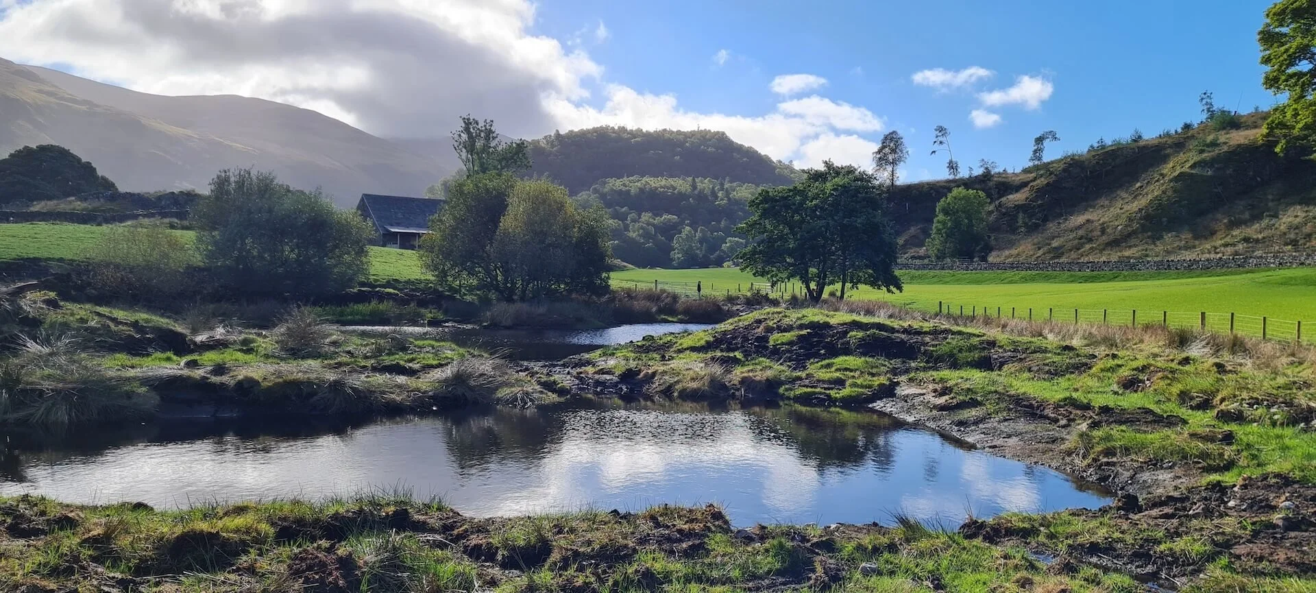
Before
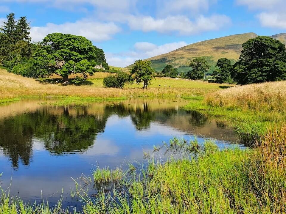
After
Project Pages
Businesses – Get Involved
Project funders


Project partners